

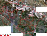
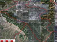
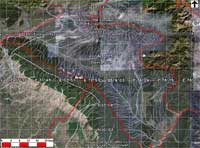
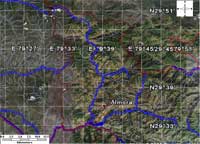
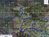
VIS is ever expanding and experimenting. It continues to generate new maps and create new utilities. It will post its latest maps in the public domain. In case of an event (like natural disasters) VIS will generate maps and information for quick decisions. All such maps will first appear on this page.