Follow the link below to create your own downloadable maps:
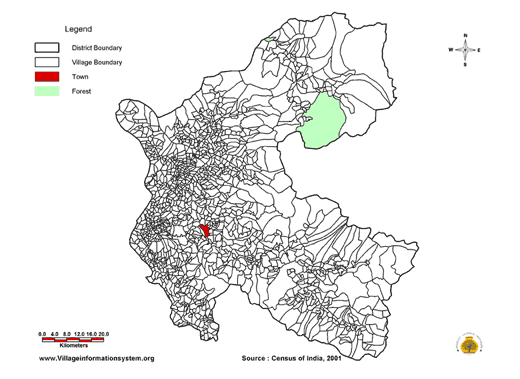
CHAMBA DISTRICT
Select a downloadable readymade map using information from the 2001 Census of India from the drop-down menu:
- Select from the list below -
Population
% Schedule Caste Population
Sex Ratio (F/1000M)
Sex Ratio (F/1000)M) 0-6 yrs
% Workers (Total)
% Main Workers
% Marginal Workers
% Cultivators
% Literacy (Total)
% Male Literacy
% Female Literacy
Post Office
Bank Facility
Education Facility
Primary Schools
Medical Facilities
Primary Health Centers
Drinking Water Source
Approach by Pucca Road
Communication Facilities
Electrification
% Forest Area
% NIA/NCA
% Cultivable Area
Developed & Hosted by: People's Science Institute E-mail: psiddoon@gmail.com www.peoplesscienceinstitute.com Developed & Hosted by: People's Science Institute
This is a base map for Chamba District. It shows village, tehsil and forest boundaries.