Follow the link below to create your own downloadable maps:
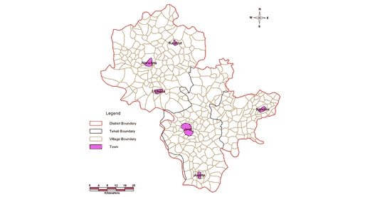
JIND DISTRICT

Select a downloadable readymade map using information from the 2001 Census of India from the drop-down menu:
This is a base map for Jind District. It shows village, tehsil and forest boundaries.